
Hatcher Pass
|
|
A MODERATE avalanche hazard exists for persistent slab, wind slab and loose dry avalanches at upper elevations. Human triggered avalanches are possible and natural avalanches are unlikely.
Slab avalanches are the main concern, up to 1-5 feet deep (consistent with the depth of the snowpack), and large enough to bury, injure, or kill a person.
A LOW hazard exists at low to mid elevations, natural and human triggered avalanches are unlikely.
AVOID STEEP SLOPES WITH TERRAIN TRAPS; choose slopes with gentle, fanning runouts.
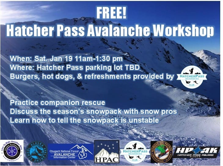
Mark your calendars for the annual Hatcher Pass Avalanche Workshop coming up on Saturday January 19th. Please carpool as parking is limited.
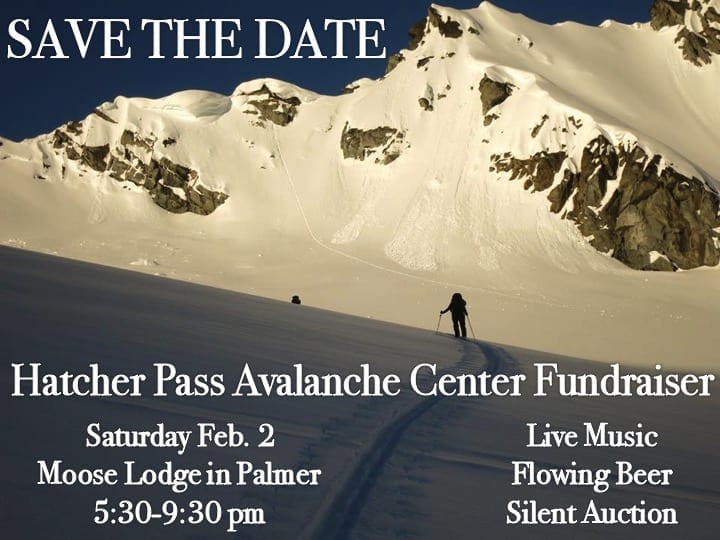
Save the date: HPAC Annual Fundraiser and Cabin Fever Reliever, Saturday,February 2, 2019 at the Moose Lodge in Palmer. Tickets available now for $20 HERE or $25 at the door.

| |
|
|
|
|
|
| Travel Advice | Generally safe avalanche conditions. Watch for unstable snow on isolated terrain features. | Heightened avalanche conditions on specific terrain features. Evaluate snow and terrain carefully; identify features of concern. | Dangerous avalanche conditions. Careful snowpack evaluation, cautious route-finding, and conservative decision-making essential. | Very dangerous avalanche conditions. Travel in avalanche terrain not recommended. | Extraordinarily dangerous avalanche conditions. Avoid all avalanche terrain. |
| Likelihood of Avalanches | Natural and human-triggered avalanches unlikely. | Natural avalanches unlikely; human-triggered avalanches possible. | Natural avalanches possible; human-triggered avalanches likely. | Natural avalanches likely; human-triggered avalanches very likely. | Natural and human-triggered avalanches certain. |
| Avalanche Size and Distribution | Small avalanches in isolated areas or extreme terrain. | Small avalanches in specific areas; or large avalanches in isolated areas. | Small avalanches in many areas; or large avalanches in specific areas; or very large avalanches in isolated areas. | Large avalanches in many areas; or very large avalanches in specific areas. | Very large avalanches in many areas. |
Many small natural and human triggered dry loose avalanches were observed this week.
It is possible, but unconfirmed, that a few, small, shallow, human triggered wind slab avalanches occurred this week.
Small loose dry avalanche on Martin Mine:
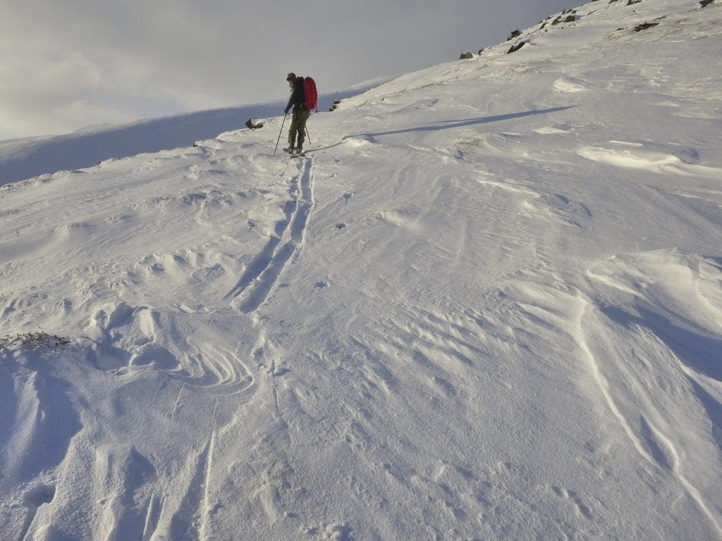
Human triggered, small, loose dry avalanches with possible small wind slab(s) triggered on Marmot Mountain, SW Face yesterday:
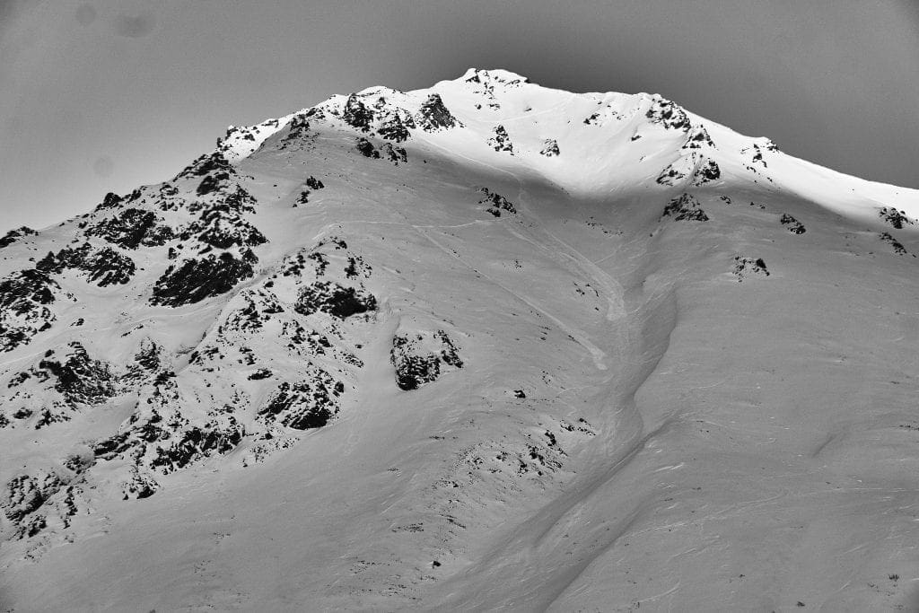
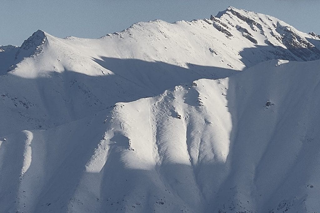
Cross loaded slopes and terrain features with wind texture on Bullion Mountain, SE, above approx. 3900′:
Wind scoured east ridge of x4068 with sastrugi:
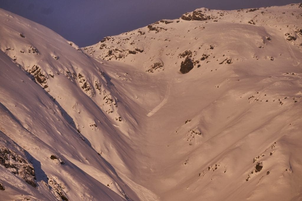
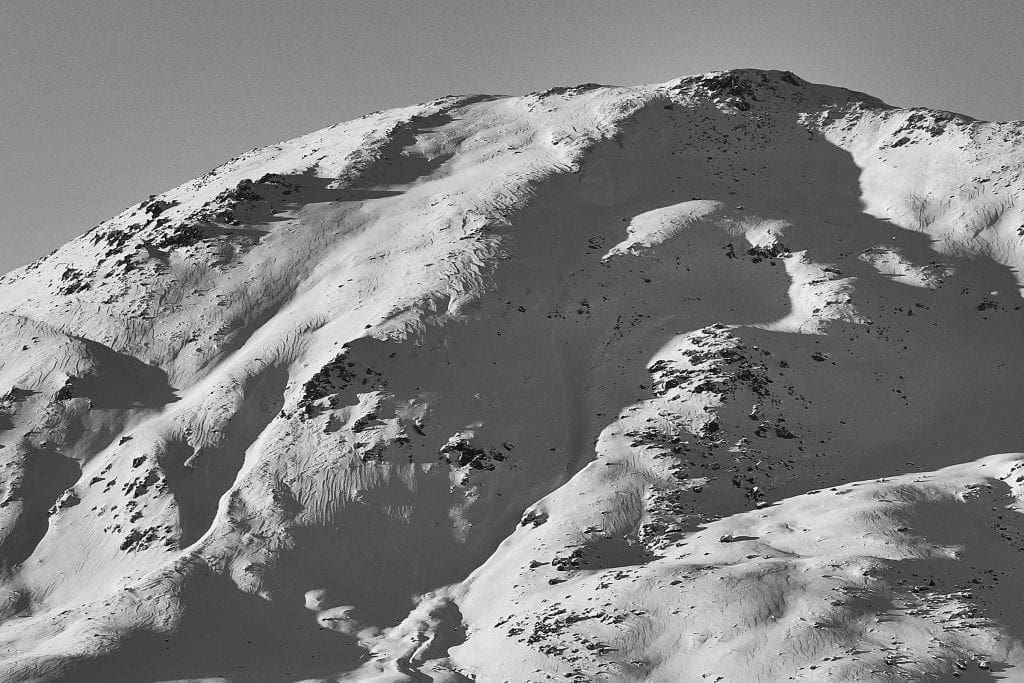
Old, likely natural, slab avalanche from New Year wind event (Dec 30-Jan 2) on Punk Spines, West, approx. 3900′, viewers left of Stairstep. This is representative of the potential avalanche hazard that may still be human triggered in isolated locations. Any significant, rapid new load, such as new snow or wind, may activate similar activity.
This week’s weather at 3550′:
Temps averaged 7ºF, with a low of -5ºF and a high of 16ºF.
IM reported 1″ of new snow.
Overnight at 3550′:
Temps averaged 7°F.
No new snow.
This week’s weather at 4500′:
Temps averaged 3ºF, with a low of -8ºF and a high of 11ºF.
Winds averaged S 3 mph, max 12 mph . Gusts averaged SW 7 mph, max gust SW 29 mph.
Overnight at 4500′:
Temps averaged 3ºF overnight, with a Low of -4ºF.
Winds averaged SSE 6 mph overnight. Max gust SSE 19 mph.
NWS Rec Forecast HERE
State Parks Snow Report and Motorized Access information HERE
TREND
Light to moderate winds today and into tonight will not be increasing the avalanche hazard. Models show light to moderate wind speeds continuing through Sunday. While wind speeds will be strong enough to transport snow, there is not much available snow left to transport.
A trace of snow is in the forecast for tonight.
The avalanche hazard is expected to remain the same through the weekend.


