
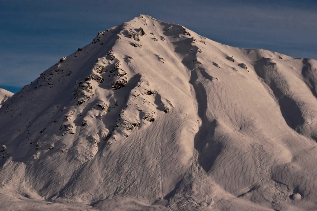
Hatcher Pass
|
|
This information is a Conditions Update. Danger ratings are only issued with avalanches advisories. The next avalanche advisory is scheduled for Saturday February 9, 2019.
Previous avalanche advisories HERE
MIDWEEK SNOW AND AVALANCHE CONDITIONS SUMMARY
Avalanche hazards exist for persistent slab and loose dry avalanches at mid to upper elevations. Human triggered avalanches are possible and natural avalanches are unlikely. Remotely triggered avalanches will be possible in isolated areas. Multiple human triggered avalanches have happened this week.
Slab avalanches are the main concern, 1-3 feet deep, and large enough to bury, injure, or kill a person.
At low elevations, natural and human triggered avalanches are unlikely.
Avoid steep slopes with terrain traps such as gullies, cliffs, choose slopes with gentle, fanning runouts.
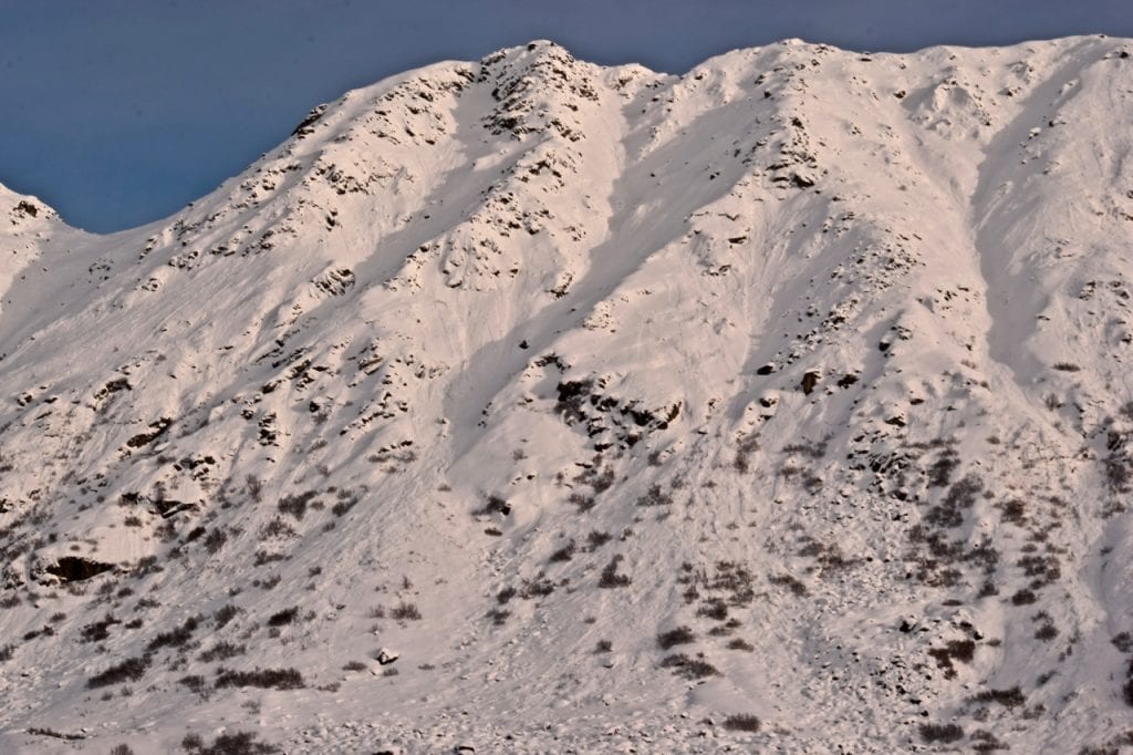
Hatcher Pass has had mild temperatures and overcast skies. Another round of storms with Southwest flow have favored Hatcher Pass since Saturday bringing 16.25″ of new snow (1.74″ SWE), moderate south-southeast winds, and mild temperatures. The majority of the new snow fell under light winds from the south-southeast, so there is no noticeable wind effect as far as skiing and riding is concerned. There is, however, and widespread, thin “drizzle crust” capping the new snow, but it does not seem to be having a significant impact on people’s enjoyment.
This report is a mid-week conditions update, so please be sure to check hpavalanche.org for advisories on Saturdays and follow the HPAC Facebook for updates. Help us keep tabs on the Hatcher Pass area! If you see any avalanche activity send us an observation HERE. Thank you to everyone who has already submitted observations this season – you can see those HERE!
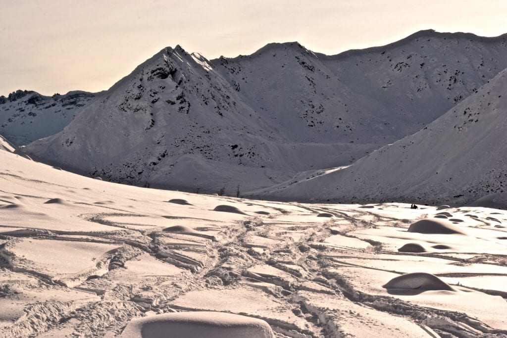
Many snowmachiners were out enjoying the new snow and the opening of Archangel Road to motorized access on Wednesday.
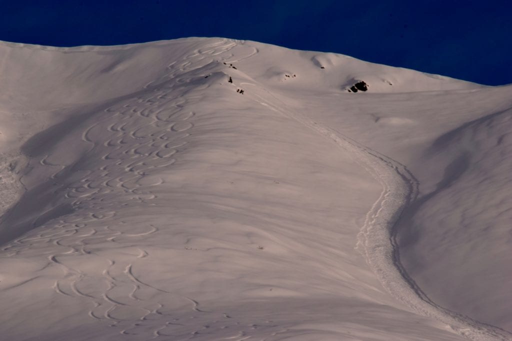
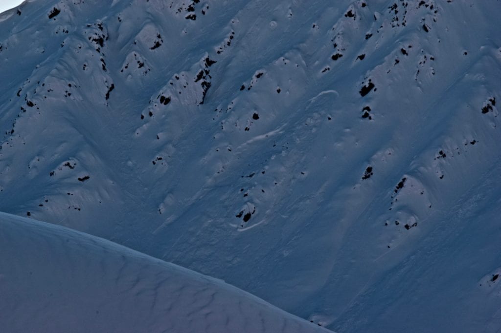
Areas like the Sunnyside of Hatch appear wind textured, but the wind was not strong enough to impact skiing and riding quality.
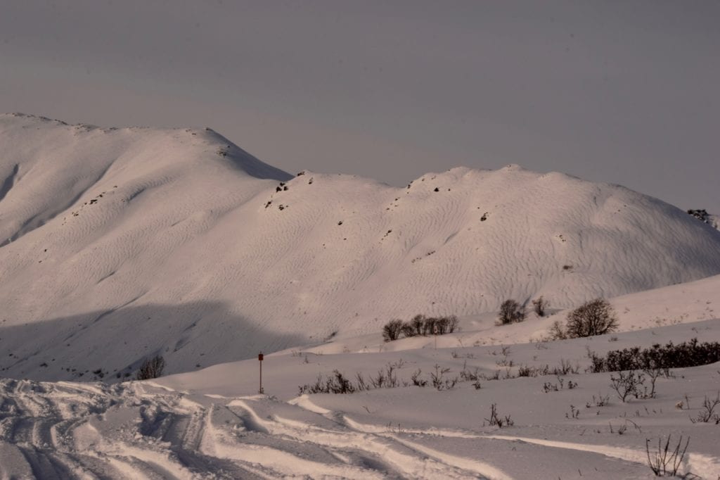
Bullion Ridge and Upper Willow Creek also have interesting wind textured surfaces, but riding is reported to be “fantastic”.

| |
|
|
|
|
|
| Travel Advice | Generally safe avalanche conditions. Watch for unstable snow on isolated terrain features. | Heightened avalanche conditions on specific terrain features. Evaluate snow and terrain carefully; identify features of concern. | Dangerous avalanche conditions. Careful snowpack evaluation, cautious route-finding, and conservative decision-making essential. | Very dangerous avalanche conditions. Travel in avalanche terrain not recommended. | Extraordinarily dangerous avalanche conditions. Avoid all avalanche terrain. |
| Likelihood of Avalanches | Natural and human-triggered avalanches unlikely. | Natural avalanches unlikely; human-triggered avalanches possible. | Natural avalanches possible; human-triggered avalanches likely. | Natural avalanches likely; human-triggered avalanches very likely. | Natural and human-triggered avalanches certain. |
| Avalanche Size and Distribution | Small avalanches in isolated areas or extreme terrain. | Small avalanches in specific areas; or large avalanches in isolated areas. | Small avalanches in many areas; or large avalanches in specific areas; or very large avalanches in isolated areas. | Large avalanches in many areas; or very large avalanches in specific areas. | Very large avalanches in many areas. |
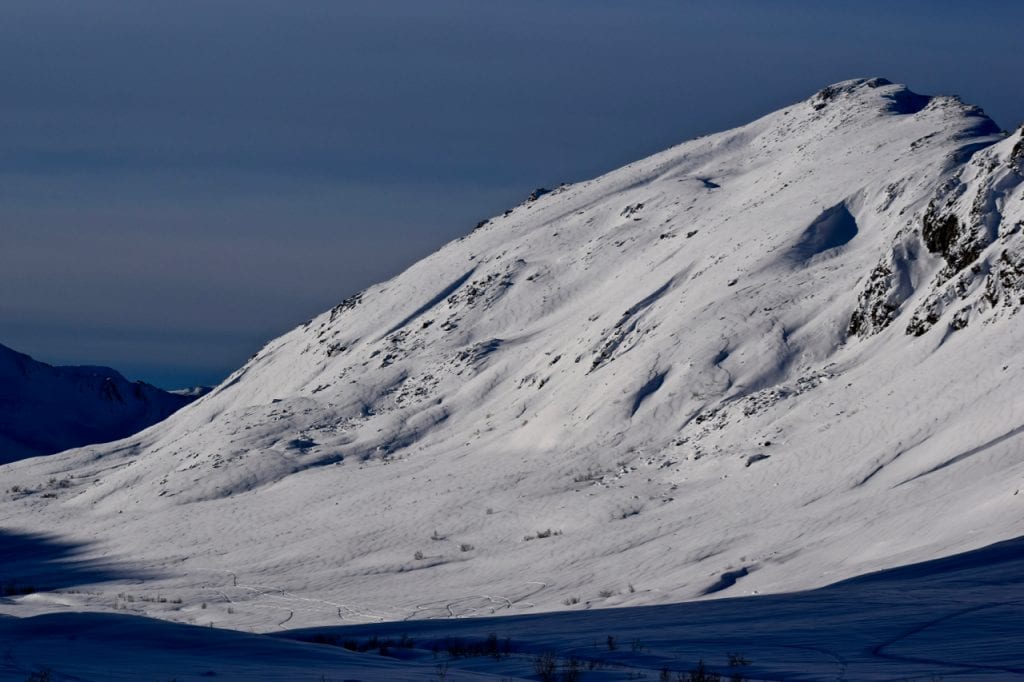
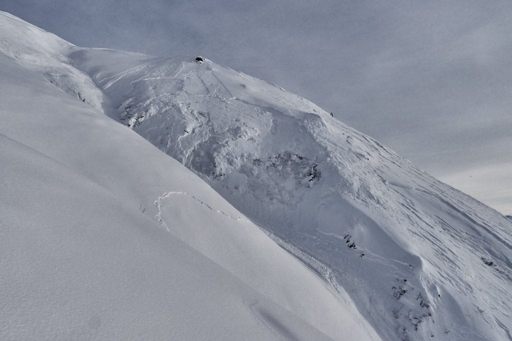
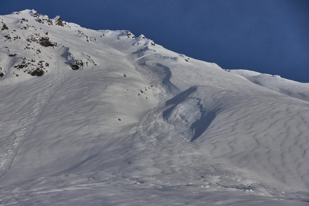
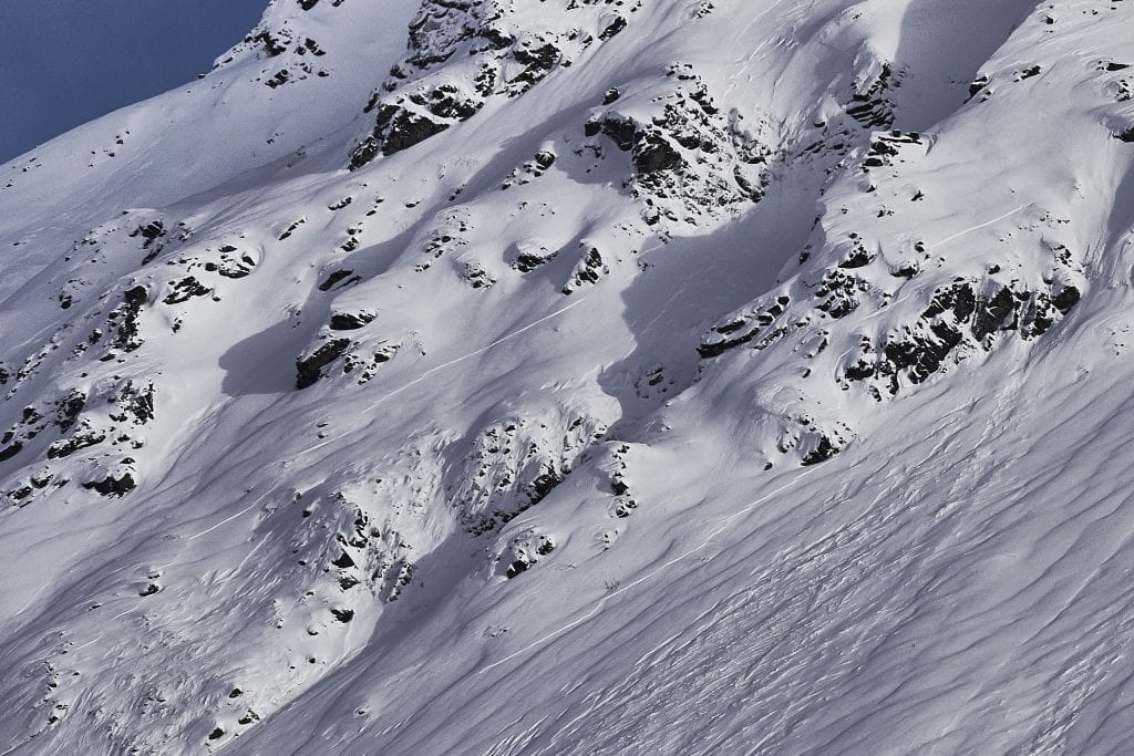
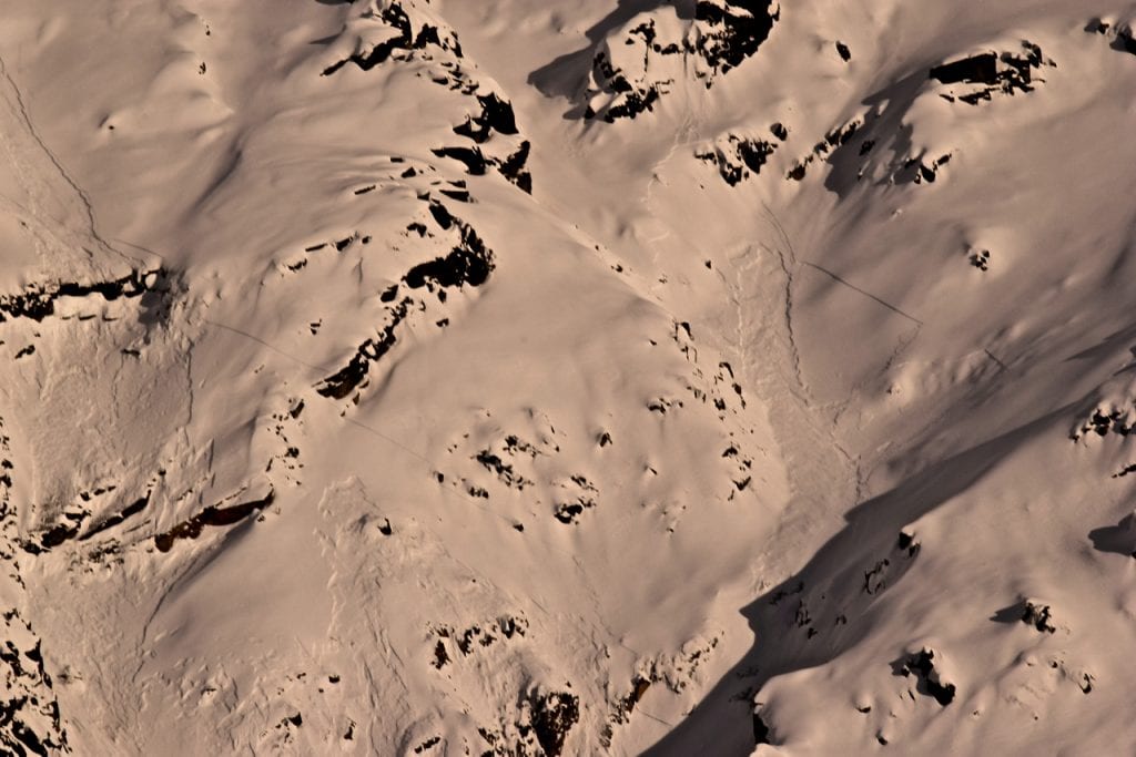
Large natural avalanche on Marmot northwest aspect, 3700′, likely 2/4-2/5. 1-3′ deep, failed in old faceted snow under old wind deposited hard slab.
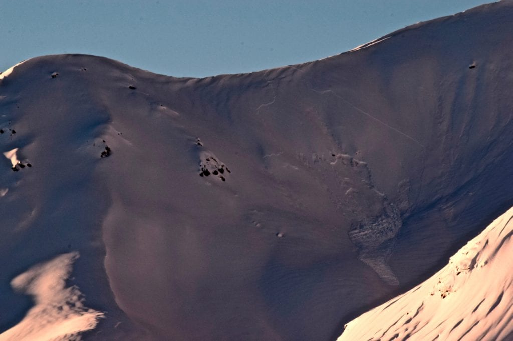
Close up view of large natural avalanche on Marmot showing the deeper persistent slab and shallower storm slab problems (easiest to identify in the foreground).
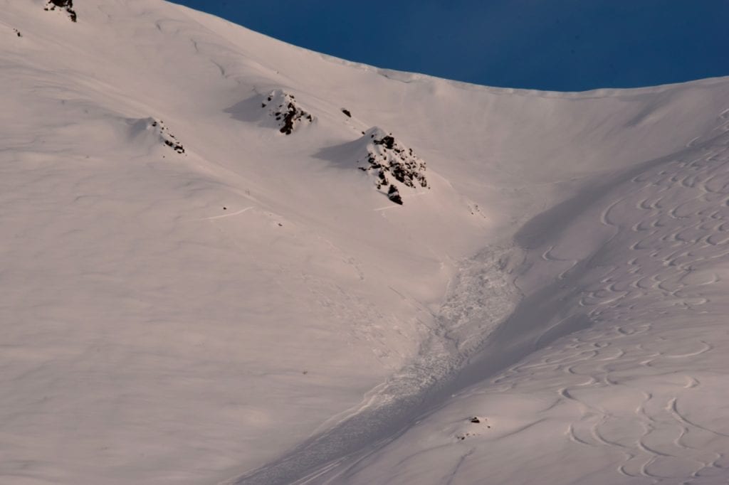
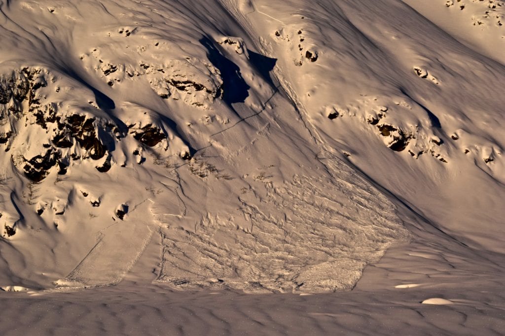
Another view of large natural avalanche on Marmot showing the deeper persistent avalanche in the death gully (left), and the separate and shallower avalanche on the nose feature (right). The avalanche on the right appears to have occurred after the one on the left, identifiable in the overlapping debris, see next picture.
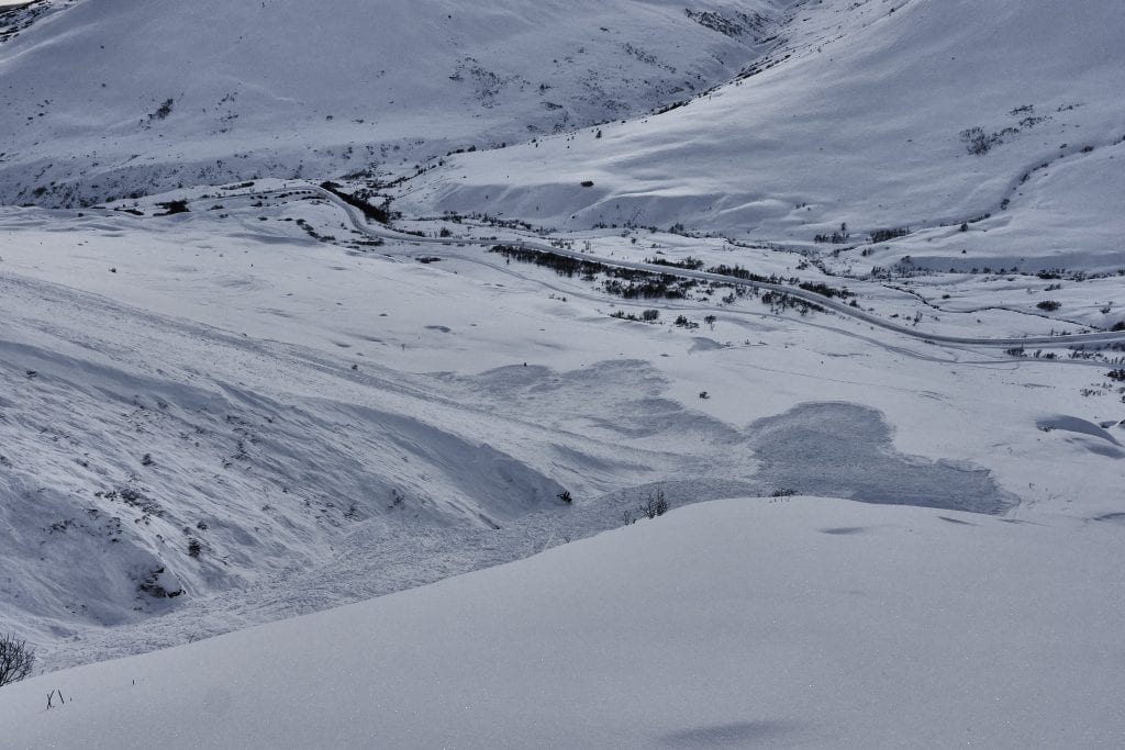
Run out of two large natural avalanches on Marmot, showing two debris piles, one from the natural avalanche in the “death gully” and the other from a shallower, natural avalanche on the nose.
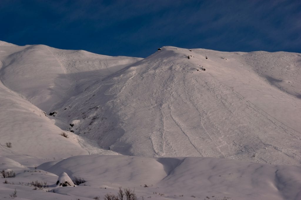
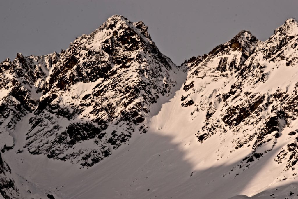
2/4 -2/5 Natural storm slab that failed on buried surface hoar. Marmot southwest aspect , 3800′.
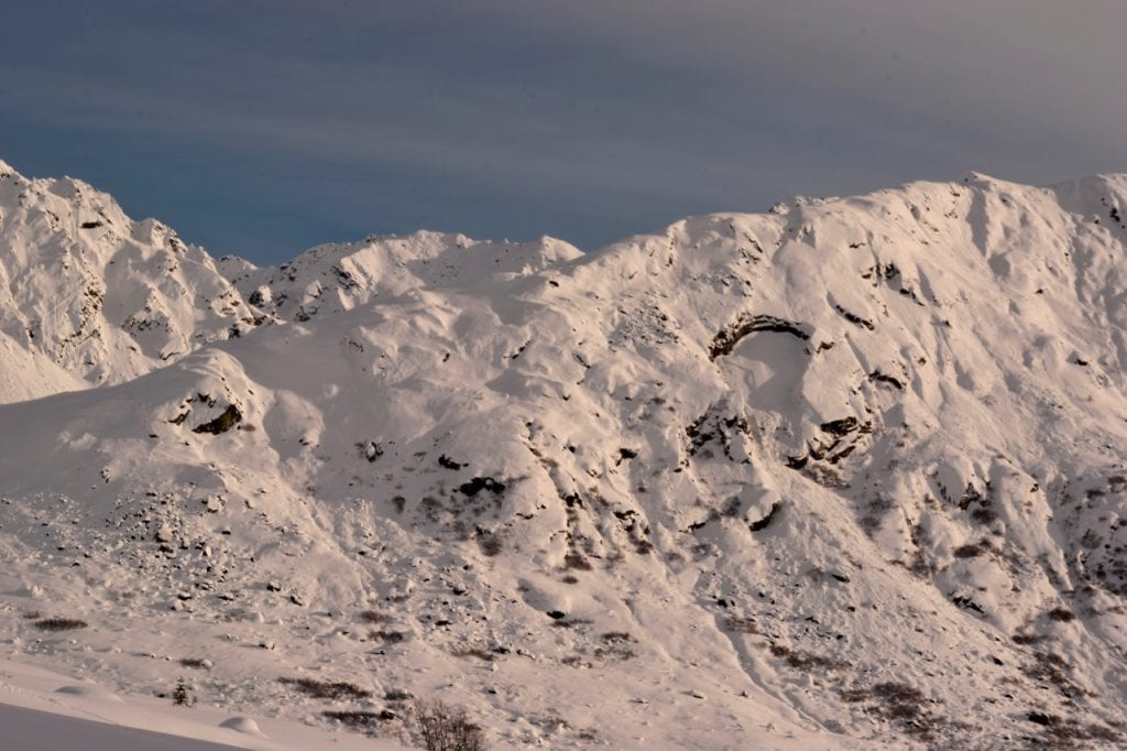
Human triggered large slab avalanche that resulted in partial burial on 2/4.
Another view of the 2/4 human triggered avalanche on Marmot.
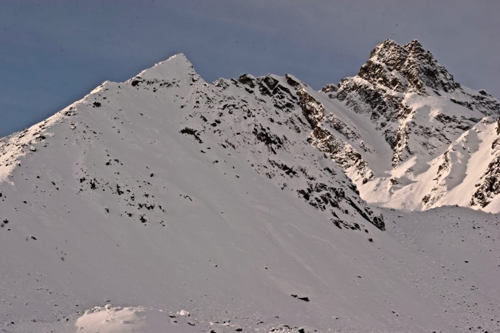
Natural storm slab avalanche on Marmot west aspect that likely happened 2/4.
Storm slab and persistent slab avalanche in Eldorado Bowl, northeast aspect, 4100′. Likely happened 2/4-2/5.
Natural slab avalanche in Ray Wallace Chutes that likely ran 2/4.
Shallow, natural storm slab avalanches failing on BSH on Marmot west aspect that likely happened 2/5.
Storm slab avalanche below Martin Mine, east aspect, 3400′. Likely occurred 2/4.
Natural dry loose and storm slab avalanches in Delia Creek area, north and northwest aspects, 4200′. Likely occurred 2/4.
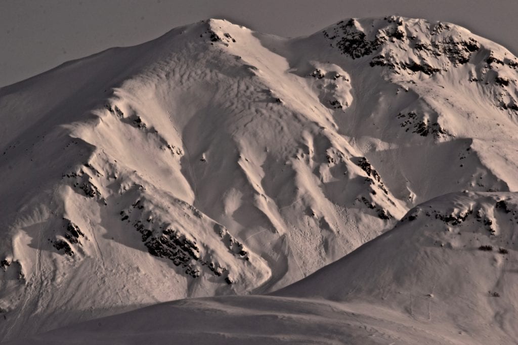
Storm slab avalanches near The Monolith. North aspect, ~4500′.
Natural storm slab avalanche up Fairangel Creek. South aspect, 4200′.
Natural dry loose and storm slab avalanches near Goodhope Creek. West-southwest aspect, 3500′.
Natural storm slab avalanche near Webfoot Prospect. Northeast aspect, 3500′.
Numerous dry loose avalanches near Goodhope Creek on Idaho Peak. West-southwest aspect, 3500′.
Above 3000′, on WEST TO NORTH aspects, it will be possible to trigger slab avalanches 1-3 feet deep on weak layers, both in the mid pack, and near the ground.
There is also a layer of widespread buried surface hoar sitting under about 4-6″ of new snow that fell Monday night. Avalanches on this layer have generally been small, but even small avalanches may have the ability to carry or wash you into secondary hazards, such as rocks and cliffs, quickly compounding the hazard.
On Monday 2/4 a skier triggered an avalanche on Marmot and was partially buried with no injuries. The avalanche was 1-2 feet deep, ~80 feet wide, and ran ~800 feet. On Wednesday 2/6, a snowmachiner remote triggered a large avalanche on a north aspect near Idaho peak. Unofficial reports said the avalanche was estimated to be 2-3′ deep, ~150-300 feet wide, and ran ~700ft.
Whumphing, shooting cracks, or collapsing are signs of instability and reminders to look for more moderate slope angles with less consequence.
Let’s continue to remind ourselves of a few simple safety protocols for backcountry travel which can increase our level of safety while in avalanche terrain. Always carry on our persons, and know how to use, a beacon, shovel and probe, avoid terrain traps, ski and ride one at a time, and spot our partners.
This large natural avalanche that happened on 2/4 on Marmot was 1-3′ deep, breaking in weak faceted snow sitting under old, hard wind slabs.
Human triggered, small, loose dry avalanches will be possible on all aspects, on slopes 40° and steeper, especially on leeward aspects where new snow is slightly deeper. At mid to upper elevations, in very isolated, wind protected locations, new snow will be sitting on up to a foot and a half of loose, weak, sugary snow. Triggering a loose dry avalanche under these conditions will entrain older, sugary snow and result in fast moving sluffs with more volume. Loose dry avalanches will generally be on the small side, but may have the ability to carry a person into secondary hazards, such as terrain traps, compounding the hazard.
Numerous loose dry avalanches on Idaho Peak near Goodhope Creek. West-southwest aspect, ~3500′.
Weather History
Weather at 3450′ since Saturday 2/2:
Temperatures averaged 22°F, with a low of 12°F and a high of 27°F.
There has been 16.25″ of snow (1.74″ SWE) recorded at Independence Mine since Saturday 2/2.
Weather at 4500′ since Saturday 2/2:
Temperatures averaged 18°F, with a low of 10°F and a high of 24°F.
Winds averaged SSE 5 mph, max 14 mph. Gusts averaged SSE 8 mph, max gust 21 mph.
Forecast Weather
Stay tuned to the NOAA point forecast for an updated weather forecast each day. The best way to see if it’s snowing in Hatcher Pass is to look at the webcam snow stake HERE and the Independence Mine SNOTEL site HERE
State Parks Snow Report and Motorized Access information can be found here.


