
Hatcher Pass
|
|
This information is a Conditions Update. Danger ratings are only issued with avalanches advisories. The next avalanche advisory is scheduled for Saturday March 2, 2019.
Previous avalanche advisories HERE
MIDWEEK SNOW AND AVALANCHE CONDITIONS SUMMARY
With daytime temps nearing 40°F, heightened avalanche conditions exist on steep southerly terrain. Human-triggered and natural wet loose avalanches will be possible in the afternoon on steep southerly slopes above 40° at all elevations. Evaluate snow and terrain carefully, identifying features of concern.
Since the last snowfall on February 18th, skiers and riders have enjoyed excellent snow conditions, fair weather, and good stability with only isolated reports of human-triggered slab avalanches. The last reported human-triggered avalanches occurred February 23rd near Dnigi Hut and in Lone Tree Gulch.
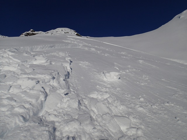
There have been widespread natural small (D1) to large (D2) wet loose avalanches on steep southerly aspects February 25th and 26th with temperatures warming above freezing.
This report is a mid-week conditions update, so please be sure to check hpavalanche.org for advisories on Saturdays and follow the HPAC Facebook for updates. Help us keep tabs on the Hatcher Pass area! If you see any avalanche activity send us an observation HERE. Thank you to everyone who has already submitted observations this season – you can see those HERE!
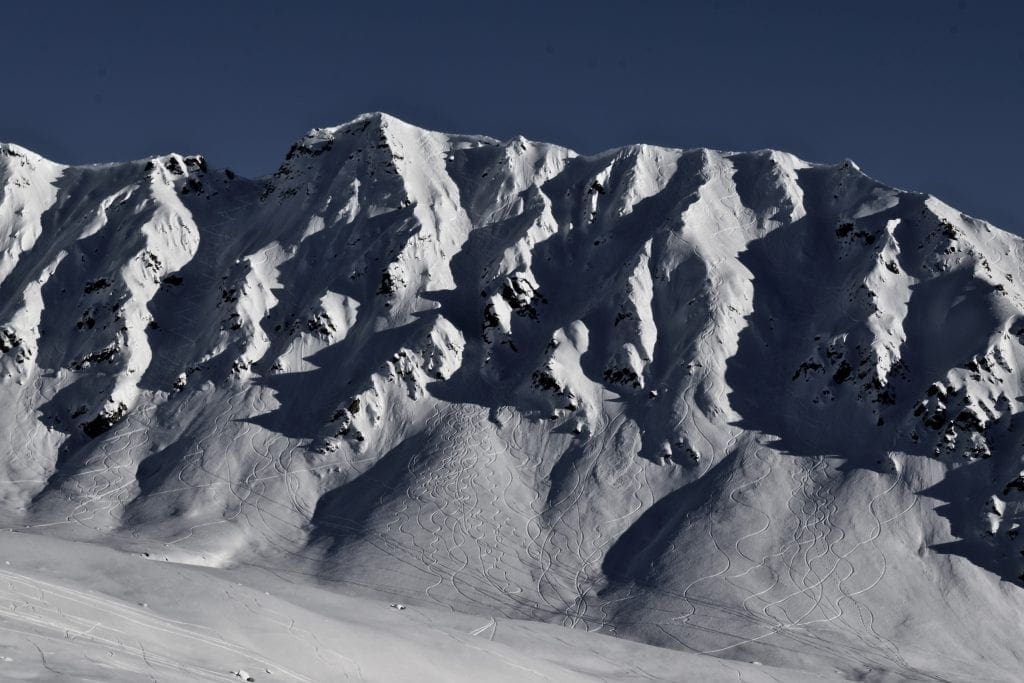
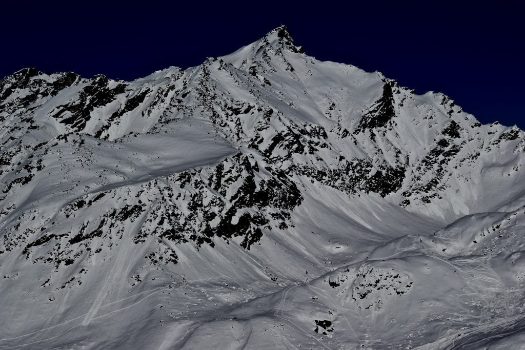
Skyscraper covered in tracks
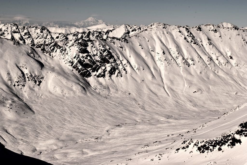
Every couloir in Rae Wallace has several tracks
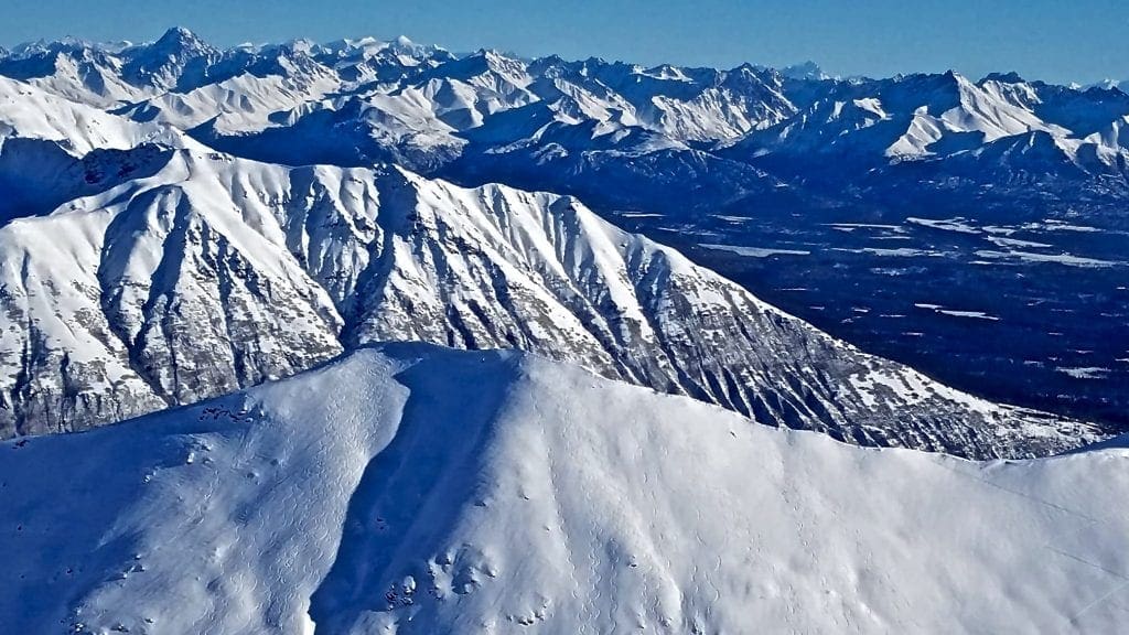
Upper Willow Creek has been heavily snowmachined
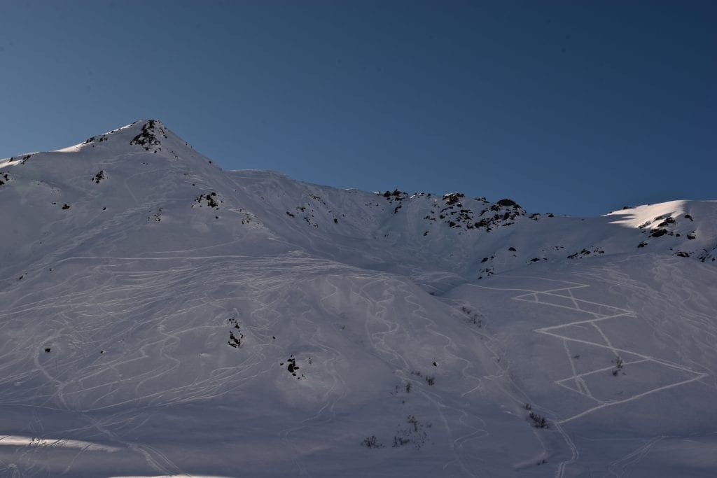
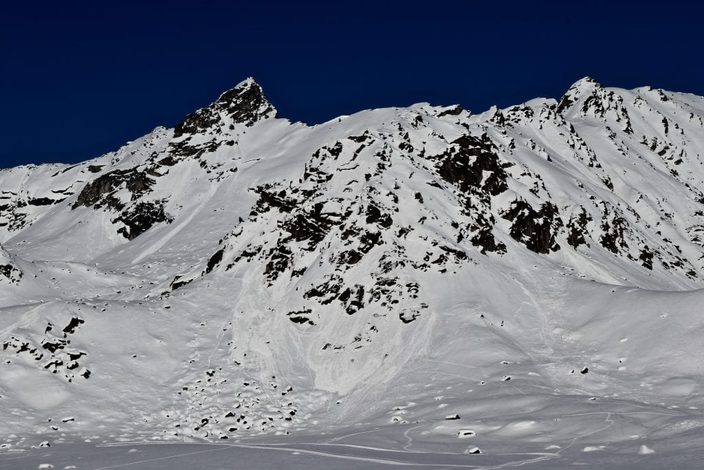
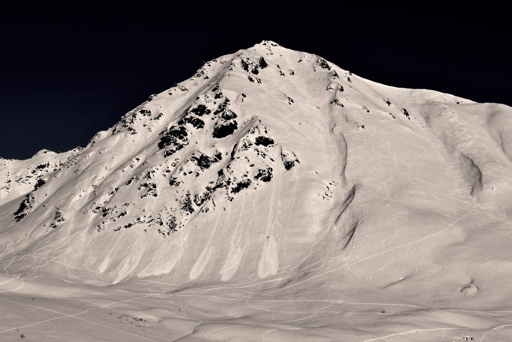
Peak 4068 is covered in tracks on all aspects
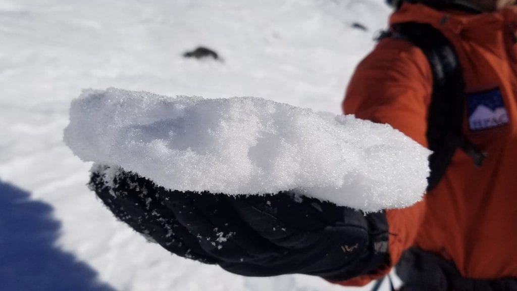
A sun crust has formed on steep southerly aspects

| |
|
|
|
|
|
| Travel Advice | Generally safe avalanche conditions. Watch for unstable snow on isolated terrain features. | Heightened avalanche conditions on specific terrain features. Evaluate snow and terrain carefully; identify features of concern. | Dangerous avalanche conditions. Careful snowpack evaluation, cautious route-finding, and conservative decision-making essential. | Very dangerous avalanche conditions. Travel in avalanche terrain not recommended. | Extraordinarily dangerous avalanche conditions. Avoid all avalanche terrain. |
| Likelihood of Avalanches | Natural and human-triggered avalanches unlikely. | Natural avalanches unlikely; human-triggered avalanches possible. | Natural avalanches possible; human-triggered avalanches likely. | Natural avalanches likely; human-triggered avalanches very likely. | Natural and human-triggered avalanches certain. |
| Avalanche Size and Distribution | Small avalanches in isolated areas or extreme terrain. | Small avalanches in specific areas; or large avalanches in isolated areas. | Small avalanches in many areas; or large avalanches in specific areas; or very large avalanches in isolated areas. | Large avalanches in many areas; or very large avalanches in specific areas. | Very large avalanches in many areas. |
Large human-triggered slab avalanche on Feb. 23 on Lone Tree Gulch, southeast aspect, 3800′.

Large remotely human-triggered slab avalanche on Feb. 23 near the Dnigi Hut
Numerous small wet loose avalanches observed Tuesday February 26th from 4500′-5000′ elevation on south and southwest aspects in the Rock Gardens and off the Pinnacle
Numerous small and large wet loose avalanches observed on Wednesday February 27th, that are believed to have occurred Tuesday February 26th. Marmot, southwest to west aspect, ~4000′.
A diurnal, spring-time weather cycle will continue through the weekend. Cool temperatures at night will allow the snowpack to freeze and lock up, while the day time, warm temperatures and direct solar, will increase the avalanche hazard each afternoon. At all elevations on southerly slopes steeper than 40°, it will be possible for human-triggered and natural wet loose avalanches with the potential to entrain large amounts of snow. Wet loose avalanche activity peaked with the initial warming, causing widespread natural wet loose avalanches on steep, southerly aspects across Hatcher Pass on Monday February 25th and Tuesday February 26th. Wet loose avalanches may carry a person into terrain traps, compounding the hazard. Look for signs the snow is warming and potentially becoming unstable in the afternoon, such as rollerballs coming off steep slopes or your skis or boots sinking into wet snow.

Widespread small (D1) to large (D2) wet loose avalanches have been observed on steep, southerly slopes. Many of these avalanches have run long distances and entrained large amounts of snow, such as these avalanches on the south aspect of Skyscraper at ~3500′.
Weather History
Weather at 3450′ since Saturday 2/23:
Temperatures averaged 25°F, with a low of 18°F and a high of 35°F.
Winds averaged N 4 mph, max 6 mph. Max gusts recorded were N 10 mph .
There has been no snow recorded at Independence Mine.
Weather at 4500′ since Saturday 2/23:
Temperatures averaged 15°F, with a low of 19°F and a high of 37°F.
Winds averaged E to SSE 2 mph, max 6 mph. Gusts averaged E to SSE 4 mph, max gust 11 mph.
Forecast Weather
Stay tuned to the NOAA point forecast for an updated weather forecast each day. The best way to see if it’s snowing in Hatcher Pass is to look at the webcam snow stake HERE and the Independence Mine SNOTEL site HERE
State Parks Snow Report and Motorized Access information can be found here.


